Transcontinental Railroad
Preparation
The new technology of steam-powered railroads burst onto the American transportation scene in the 1830s and by the 1840s Americans began promoting the concept of a transcontinental railroad. Some argued it offered economic opportunity - linking northeastern manufactures to Asian markets. Others saw a political need to connect the new Pacific coast states and territories to the rest of the country east of the Mississippi. However, the decision to build a transcontinental railroad did not come to fruition for over 30 years. The federal government and private individuals explored many routes but the choice on whether to connect the Pacific states through a Southern state or a Northern state became a political battle and kept the work at bay until the South seceded from the Union.
 View object
record
View object
record
John Bull Locomotive, 1831
View object recordDreaming
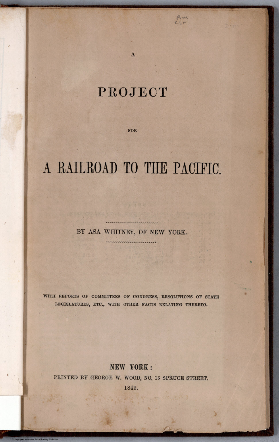
Title page of Asa Whitney's A project for a railroad to the Pacific.
Dry good merchant Asa Whitney returned from China in 1844 and began promoting the idea of a railroad across the United States. He argued that it would benefit factories in the North East providing a route to markets in China and Japan. Whitney's petitions to Congress and his public speaking campaign sparked interest in the idea of a Transcontinental Railroad.
 View object
record
View object
record
Theodore Judah Sign
View object record Theodore Judah was the chief engineer for the small Sacramento Valley Railroad in California. Dreaming of a transcontinental railroad he surveyed a route to cross the Sierra mountains and sought support for building the railroad. View object
record
View object
record
Hong Bowl, ca 1785
View object record The China trade was important to American merchants and manufacturers. After winning independence from England, the United States began direct trade with China in 1784.Surveys
The United States government sponsored surveys in the 1850s to explore routes between the Mississippi River and the Pacific Ocean. The Army Appropriations Act of 1854 directed Secretary of War Jefferson Davis, “to ascertain the most practicable and economical route for a railroad from the Mississippi River to the Pacific Ocean.” The reports contained a detailed analysis of the various routes taking into account the cost of constructing the railroad as well as the benefit to the government in the cost of hauling troops and ordnance. The exploration parties also collected basic geographical and botanical information.
While the surveys studied the practicality of different routes, an overarching question plagued the decision on where to build - should the railroad terminate in the North or in the South? The decision remained in political gridlock until the secession of the Southern states made the choice moot. A northern route was selected with Council Bluffs, Iowa as the eastern terminus.
Four surveys were conducted exploring east to west routes at different latitudes. The northern route was near the 47th and 49th parallels. A central route was near the 38th and 39th parallel. A southern route near the 35th parallel. An extreme southern route near the 32nd parallel went partially into Mexico. Several additional surveys explored the Pacific side and a means to connect to the main east west routes. The survey reports filled twelve volumes with data consisting of maps, topographical profiles, zoological, botanical and anthropological reports, prints, and lithographs.

Portrait of Caleb Burwell Rowan Kennerly shows him in expedition gear. He participated in the Pacific Railroad Survey in 1853-1854.
Six major expeditions of the Great Plains to the Pacific coast explored routes for the transcontinental railroad. The Smithsonian Institution provided detailed scientific instructions and equipment for the surveys. Specimens collected during these surveys became a significant part of the Smithsonian's collections and contained many new species.
They were directed to observe and note all the objects and phenomena which have an immediate or remote bearing upon the railway, or which might seem to develop the resources, peculiarities, and climate of the country; to determine geograpihical positions, obtain the topography, observe the meteorology, including the data for barometric profiles, and two of the parties were to determine the direction and intensity of the magnetic force. They were to make a geological survey of the lines; to collect information upon, and specimens of, the botany and zoology of the country ; and to obtain statistics of the Indian tribes which are found in the regions traversed. Thus would be obtained all the information ibr the general consideration of the question, as well as the data upon which the cost of construction and working a railroad depend.
A variety of surveying instruments were used to gather the data for the surveys including sextants, artificial horizons, box chronometers, prismatic compasses, odometers, cistern barometers, thermometers, reconnoitering glasses, aneroid barometers, and several smaller instruments. Instruments from the period can be seen below, and the Division of Medicine and Science has a large collection of instruments used in mapping and surveying.
 View object
record
View object
record
Green Cistern Barometer
View object record View object
record
View object
record
B. Pike & Son Surveyor's Compass
View object record View object
record
View object
record
Parkinson & Frodsham Box Chronometer
View object record View object
record
View object
record
James Green Hygrometer
View object recordMapping
This is a presentation of maps contained in the twelve volume report "Explorations and Surveys for a Railroad Route from the Mississippi River to the Pacific Ocean." Maps from the survey have been georeferenced and overlaid on current satellite maps using ArcGIS. Feel free to explore each map, toggling layer visibility and transparency to see what the map included, what it excluded, and why.
Legislation
 View object
record
View object
record
Abraham Lincoln Campaign Badge
View object recordGrowing up on the western frontier of Kentucky and Illinois, Abraham Lincoln was sympathetic to the desires of farmers and miners. His election to the U.S. Presidency in 1860 helped convince Southern politicians that their hopes of maintaining the practice of slavery was doomed. With the secession of the 11 southern states in 1860 and 1861 the political log jam over a transcontinental route was broken.
 View object
record
View object
record
Abraham Lincoln's Patent Model, 1849
View object recordLincoln was keenly aware of the importance of both river and rail transportation. In 1849 he receive a patent for invention to lift boats grounded in shallow water.
 View object
record
View object
record
 View object
record
View object
record
Gold Nugget and Letter sent to President Lincoln
View object recordWesterners supported Abraham Lincoln and the effort to maintain the union. During the Civil War, San Francisco citizens sent Abraham Lincoln a gold nugget accompanied by a letter wishing him success in ending the war.
The fight over the Transcontinental Railroad terminating in a slave state or a free state ended with the secession of the 11 southern states by 1861. In 1862, President Abraham Lincoln signed the Pacific Railroad Act authorizing government support to build over 1,700 miles of railroad track connecting the eastern rail web to the Pacific Coast.
"I , Abraham Lincoln, President of the United States, do upon the application of said company, designate and establish such first named point on the eastern boundary of the State of Iowa east of and opposite to the east line of Section 10, in Township 15, South of Range 13, east of the sixth principal meridian in the Territory of Nebraska."
Work commenced sparking a race between the Union Pacific, building west, and the Central Pacific, building east. In six short years, with the ceremonial driving of golden spikes on May 10, 1869 at Promontory Summit, Utah Territory, participants declared the Transcontinental Railroad complete.