Object Details
Manufacturer
Jet Propulsion Laboratory, California Institute of Technology
Summary
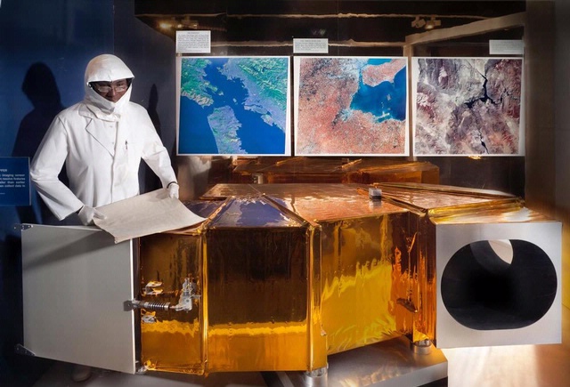
In 2000, the Shuttle Endeavor carried the Shuttle Radar Topography Mission (SRTM) payload into orbit. Shuttle astronauts used the payload to map in high-detail and three-dimensions more than 70% of the Earth's surface--the most complete and accurate rendering of the planet's land masses ever attempted. The Museum possesses two primary components--the mast canister and the outboard support structure with its antennas--crucial to that mission.
This artifact is a GPS antenna used to provide data on the exact postion of the outboard support structure during the mission. This was combined with other data to create an accurate map of the Earth's surface.
NASA transferred this artifact to the Museum in 2003.
Credit Line
Transferred from the National Aeronautics and Space Administration
Inventory Number
A20040261003
Restrictions & Rights
Usage conditions apply
Type
EQUIPMENT-Mission Support
Materials
Uncharacterized Metal
Copper Alloy
Paint
Plastic
Dimensions
3-D: 7.6 × 22.9cm (3 × 9 in.)
Country of Origin
United States of America
See more items in
National Air and Space Museum Collection
Data Source
National Air and Space Museum
Link to Original Record
Record ID
nasm_A20040261003